Precision Aerial Technology & Visual Intelligence
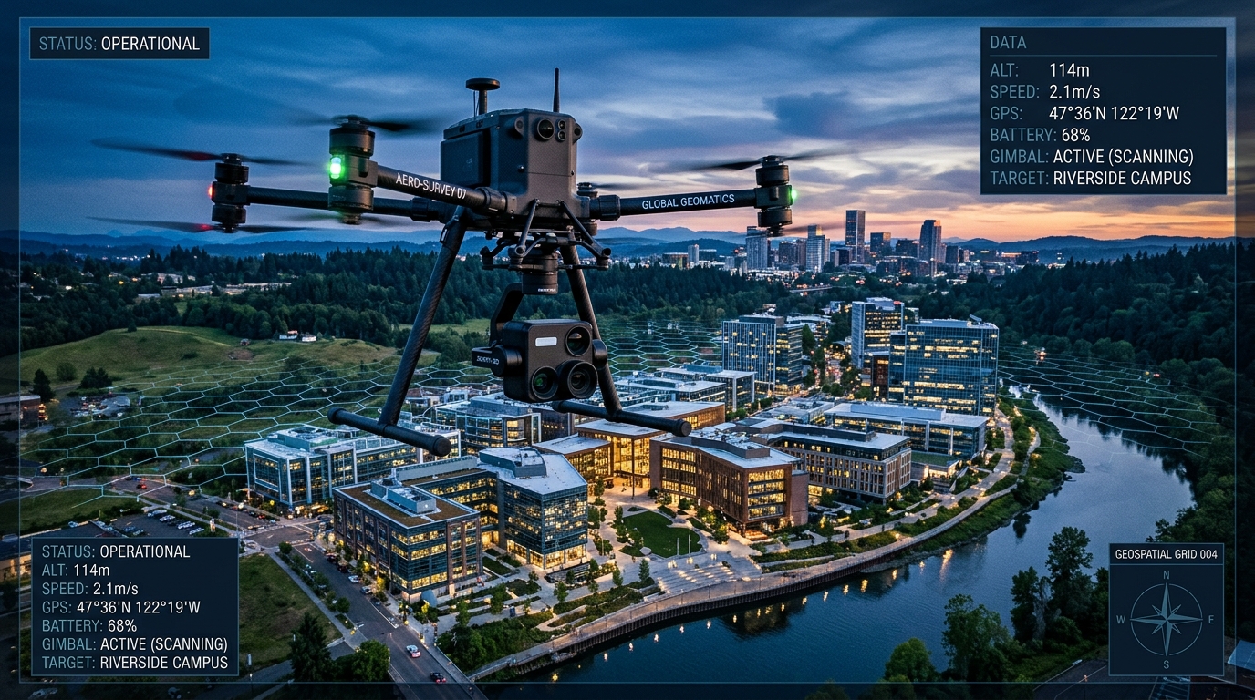
Superview Systems empowers construction firms, civil engineers, real estate developers, and creative agencies with millimeter-accurate 2D/3D mapping, reality digital twins with Gaussian Splatting, and Hollywood-grade cinematic FPV videography.
Our Core Services
From continuous single-take indoor FPV real estate tours to interactive Gaussian Splatting reality capture, custom drone builds, and scheduled construction monitoring.
FPV Real Estate Videography
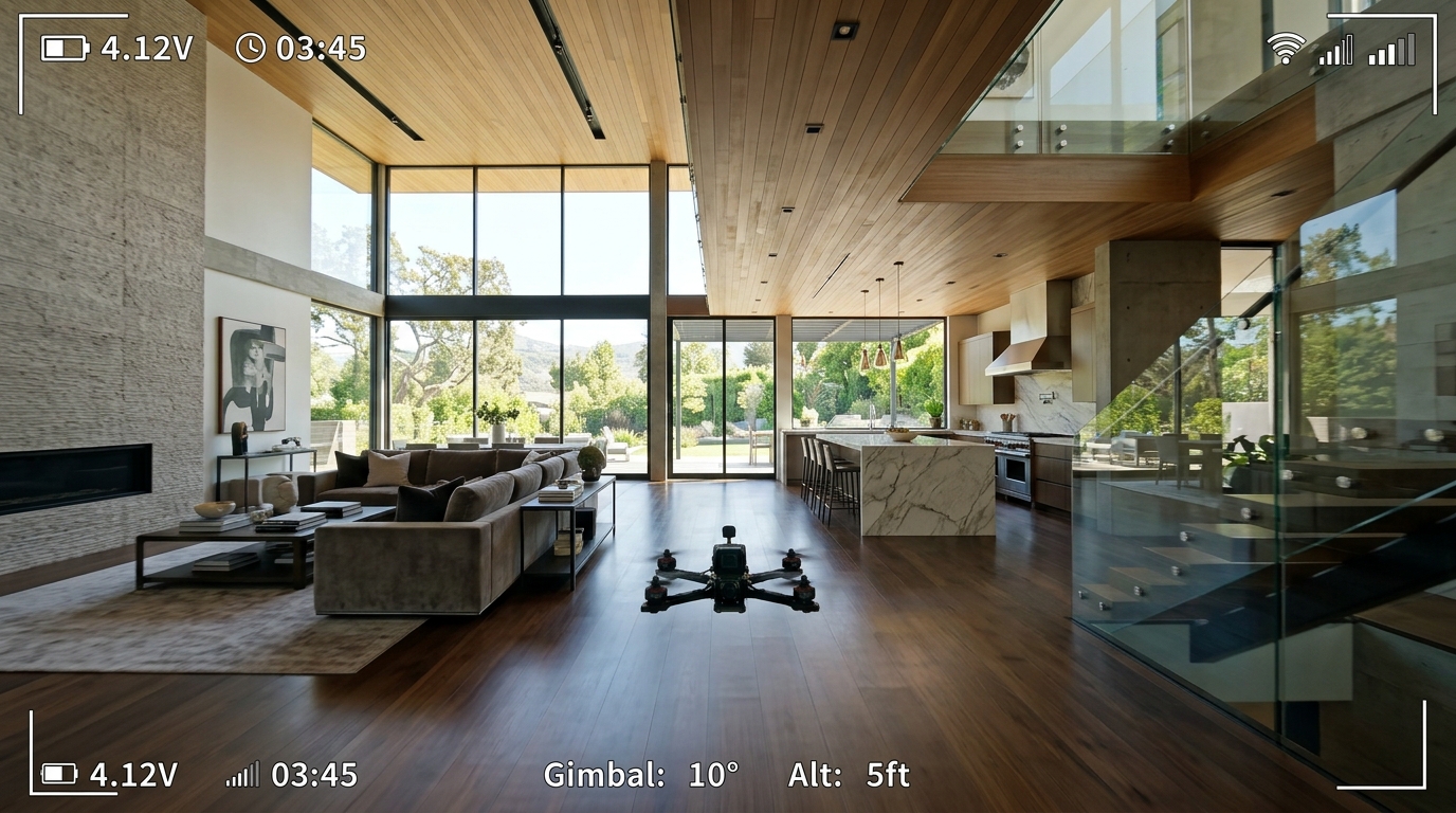
Cinematic indoor fly-throughs moving seamlessly room to room
Showcase luxury listings, commercial properties, and architectural spaces through uninterrupted, cinematic first-person view (FPV) drone tours. Our custom ducted cinewhoops fly smoothly through front entrances, transition fluidly across kitchens and living rooms, ascend staircases, and glide out onto sunlit patios in one continuous, immersive master take.
- ✓ One Continuous Master Shot: Capture the entire property in a fluid, unified cinematic tour.
- ✓ Intuitive Spatial Flow: Help buyers visualize the property's layout, room connections, and scale.
- ✓ Social & Marketing Ready: Differentiate listings on Instagram, TikTok, YouTube, and MLS.
- ✓ Architectural Spotlight: Highlight ceiling heights, luxury fixtures, and natural lighting.
Spatial Intelligence & 3D Mapping
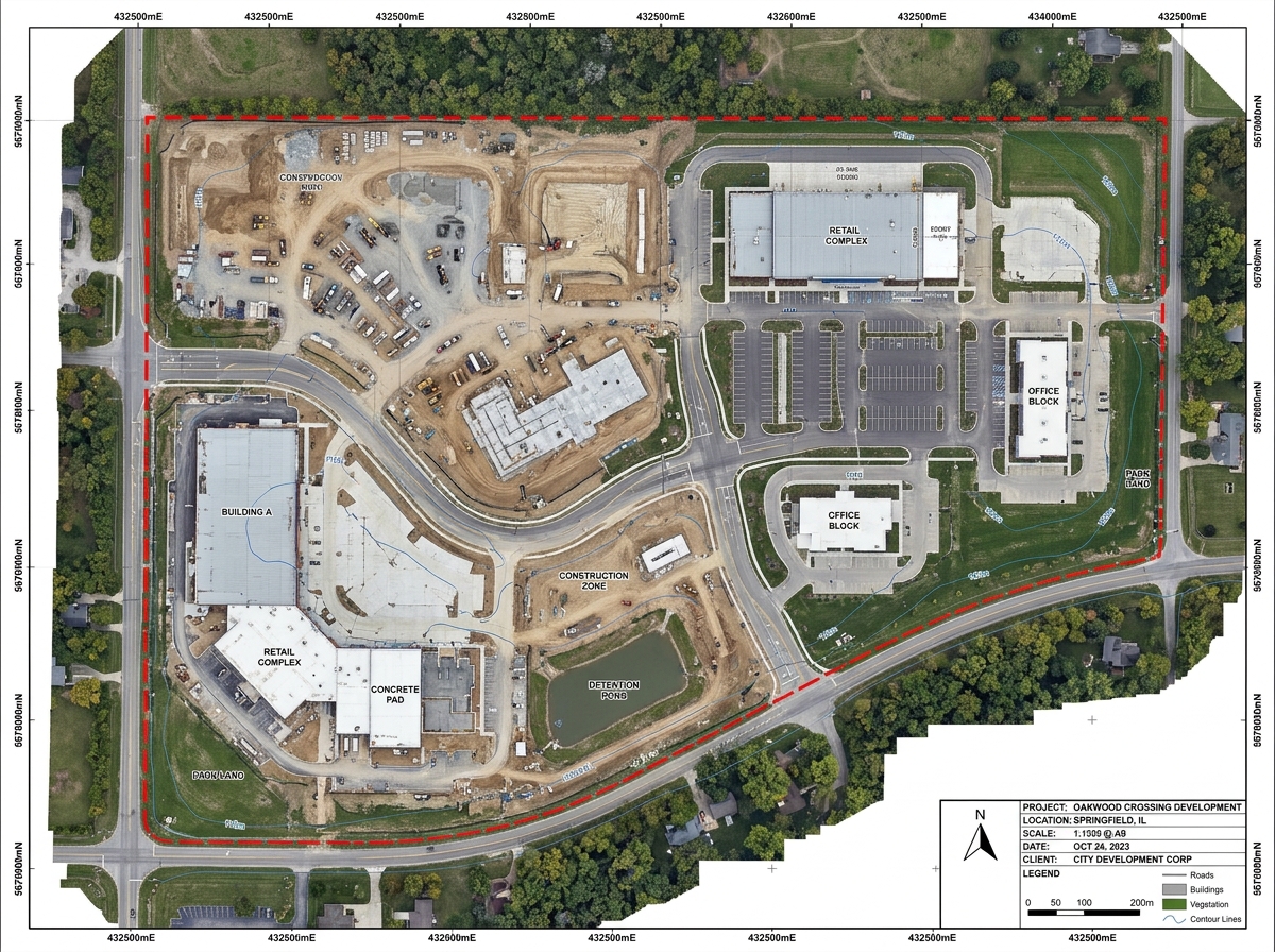
Inspect how Superview Systems converts millions of georeferenced data points into actionable engineering deliverables. Select layers and click inspection targets below.
Field Scanning & Drone Mission Time Calculator
Configure your site footprint to calculate real on-site flight time, battery sorties, photogrammetry frame counts, and GPU reconstruction duration per square foot or acre.
Transfers these calculated flight & scan specifications directly into our inquiry form below.
Bridging Airborne Capture & Actionable Engineering Intelligence
Founded on the principle that modern visual data should be as analytically rigorous as it is visually breathtaking, Superview Systems operates at the convergence of aerospace engineering, GIS photogrammetry, and cinematic storytelling.
Calibrated to ground control points for civil engineering tolerance.
FAA Part 107 licensed remote pilots backed by $10M enterprise liability coverage.
Dual-frequency RTK rovers, LiDAR sensors, and custom cinema cinewhoops.
Commission a Mission
Connect directly with our flight directors and photogrammetry specialists. We evaluate site airspace, flight corridors, and deliverable timelines within 24 business hours.
All submissions through this form transmit directly to our active operations desk at [email protected]. We evaluate project scope, flight feasibility, and deliverable timelines within 24 hours.
Inquiry Submitted Successfully
Thank you, Client. Your inquiry has been delivered directly to our operations desk at [email protected].